
Whitehorse Hill - County Top Walk
Sunday 13th July 2008
We had been stopping in Oxford for the weekend and after spending Saturday at Lords, watching England bowl out South Africa we decided to do a short walk before heading home. We headed out to Whitehorse Hill in order to explore some of the countryside in Oxfordshire and take in a County Top. Whilst the walk itself was very pleasant the views of the White Horse were very disappointing.
Start: National Trust car park (SU 293 866)
Route: National Trust car park - Lambourn Valley Way - Whitehorse Hill (CT) - The Ridgeway - Britchcombe Farm - Woolstone - National Trust car park
Distance: 4.5 miles Ascent: 174 metres Time Taken: 2 hours 15 mins
Terrain: Easy paths and fields.
Weather: Hot and sunny.
Pub Visited: The Fat Dog, Shrivenham Ale Drunk: Flint Knapper, Ramsbury Brewery
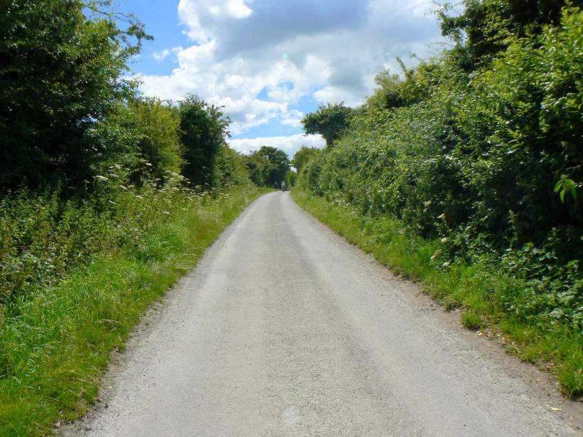
Heading along the Lambourn Valley Way.

The flowers made this a very pleasant path to follow.
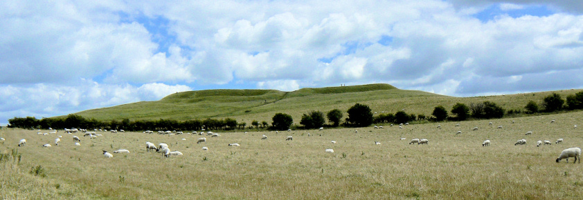
Looking up to Uffington Castle and/or Whitehorse Hill from the Lambourn Valley Way.

The summit of Whitehorse Hill which is the County Top of Oxfordshire.

On top of Whitehorse Hill and next to the trig point is Uffington Castle.
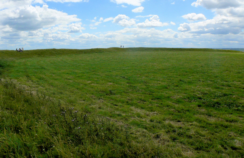
Looking across Uffington Castle.
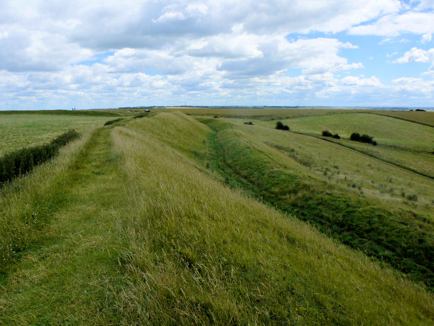
Part of the bank and ditch which surrounds the fort.
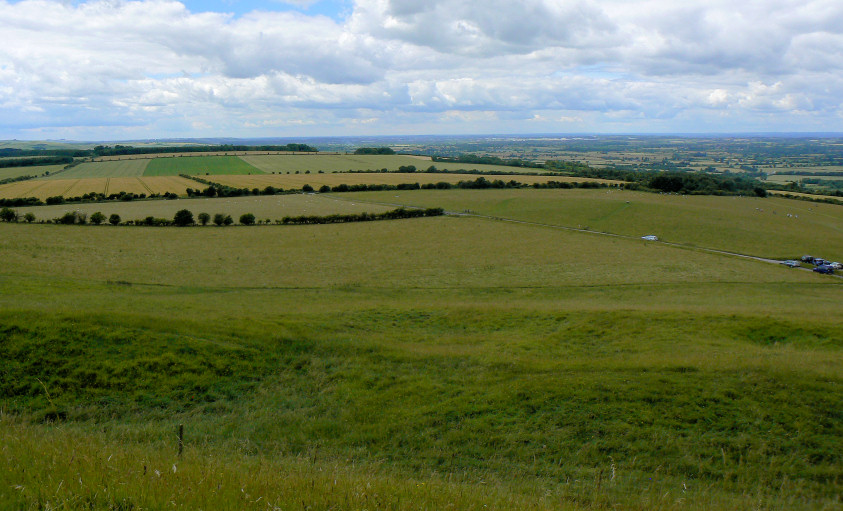
The view west from Uffington Castle, looking towards the Cotswolds.
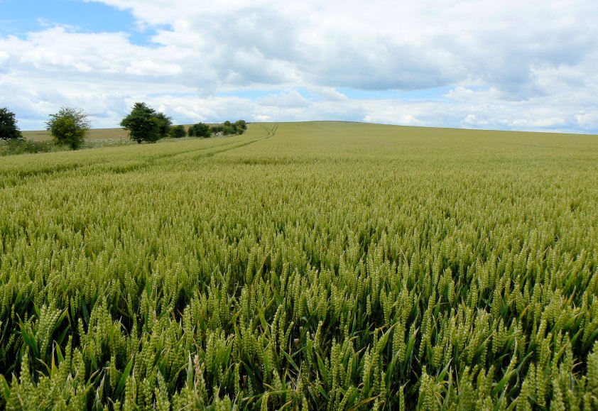
A rare event for me, walking through a field of crops.
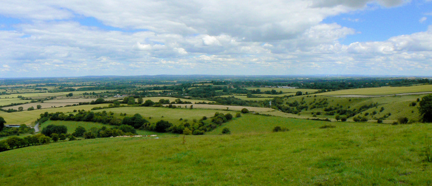
Looking across the Thames Valley as we head down towards Britchcombe Farm.
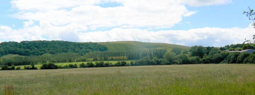
Dragon Hill.

One of the many pretty cottages that can be seen in the village of Woolstone.
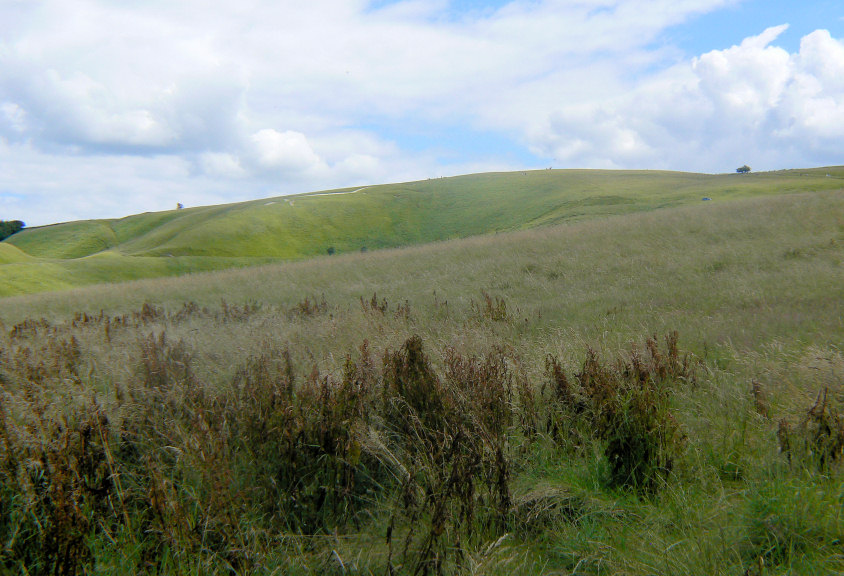
Whitehorse Hill.
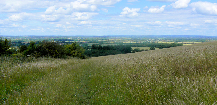
Looking back across the Thames Valley as we head up Whitehorse Hill.
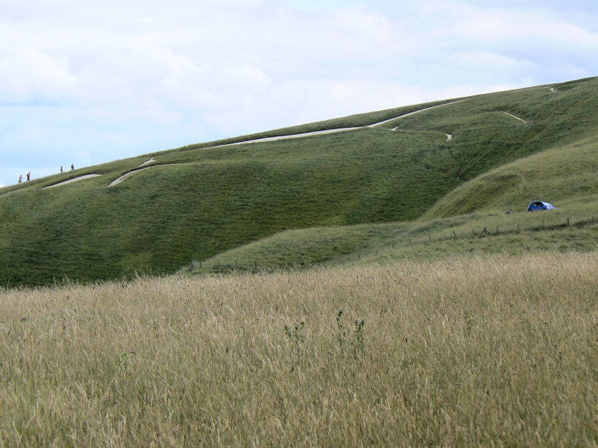
The best view we could get of the White Horse.
All pictures copyright © Peak Walker 2006-2023